INTERACTIVE MAP OF LOFOTEN ISLANDS

Start planning your dream vacation! This map of Lofoten shows you must-visit tourist attractions in Lofoten, awesome hiking trails and tons of practical information like ferry departures etc. 

But most importantly, it will save you hours that you would have spent googling and reading different travel guides.

Interactive map of Lofoten islands by Realcamplife

YOUR POCKET GUIDE TO LOFOTEN ISLANDS

The interactive map is a set of more than 200 points of interest in the west and east part of Lofoten islands (Austvågøya, Vestvågøya, Flakstadøya, Moskenesøya, Værøy, Røst) entered into the Google My Maps app. 

All POI are marked with icons and divided into layers according to categories: hiking trails, churches and museums, recommended accommodation and campsites, practical information, activities etc. 

In addition, all places include a short description and links to official sources of information. The map is a great help for planning a holiday to Lofoten for those who want to explore more than just the notoriously known tourist attractions.

What is included in the map

Anitas Sjømat Lofoten
Best restaurant Lofoten

INTERACTIVE MAP OF LOFOTEN

Interactive map of Lofoten islands by Realcamplfie: Uttakleiv Beach
Interactive map of Lofoten islands by Realcamplfie: Kvalvika Beach
Interactive map of Lofoten islands by Realcamplfie: Ryten
Interactive map of Lofoten islands by Realcamplfie: Reinebringen hike

Reviews

"Better than Lonely planet"

"You can stop googling right now. This map has everything - from interesting places to recommendations for hiking trails and adventurous activities. You can filter the layers according to your preferences or just explore one area on the map. I love that it is done in Google maps, so you get access to reviews, pictures, and links to official websites."
Lubos mapa Norska recenze
Luboš Hladký
Norway

"The map saved me hours of work"

"I actually like the process of planning my holiday. On the other hand, I hate spending tens of hours in front of a computer screen just to find interesting places that are worth visiting. The information for travel guides is often outdated. That is why I like this idea of an interactive travel map. It contains everything I need and I would love to have it for more countries than just Norway."
Zuzana Hnátková
Czech republic

"everything your outdoor-loving heart could desire"

"I absolutely love this map! There are many more categories than the “All Trails,” or the “UT.no” apps have, which makes it easier to plan a comprehensive trip without having to click between different apps and/or websites. Sure, you still need google maps, or the old-fashioned atlas, to plan your route to and from certain points, but this map has everything your outdoor-loving heart could desire! Waterfalls, hikes (ranked by difficulty), beaches… you name it! You can find travel guides to any city on this planet, but I have never seen as great a map for those who want to venture out into the wilderness as this one! You can search for specific locations or simply browse between the categories to find destinations you haven’t yet thought of. The sheer amount of points on this map is mind-blowing, and I cannot imagine the work that has gone into this! If you are planning to explore Norway, this is the map for you! "
Izzy Lippold
Norway

HOW MUCH DOES THE MAP COST?

Lifetime access to the interactive map of Lofoten costs 24.90 EUR. 

Practical information

gmail client

The map is created in Google Maps app. In order to use it, you will need a Gmail address.

device

You will be able to use the map on a PC, tablet, or mobile phone. You just need to make sure that you are logged into the Gmail account you purchased the map with. For planning the trip I would recommend opening the map on a desktop PC.

access to the map

You will be granted access to the map within 3 working days. Please be patient, it is not an automatic procedure and we have to fill your login data manually.

Interactive map of Lofoten islands by Realcamplife

THE STORY BEHIND THE CREATION OF iNTERACTIVE MAPS

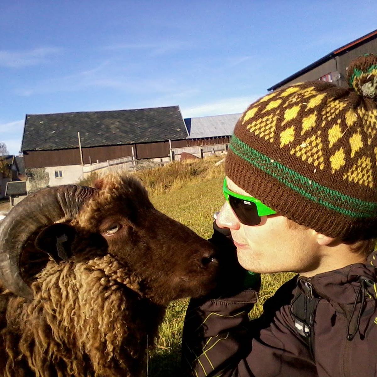
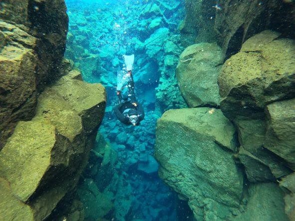
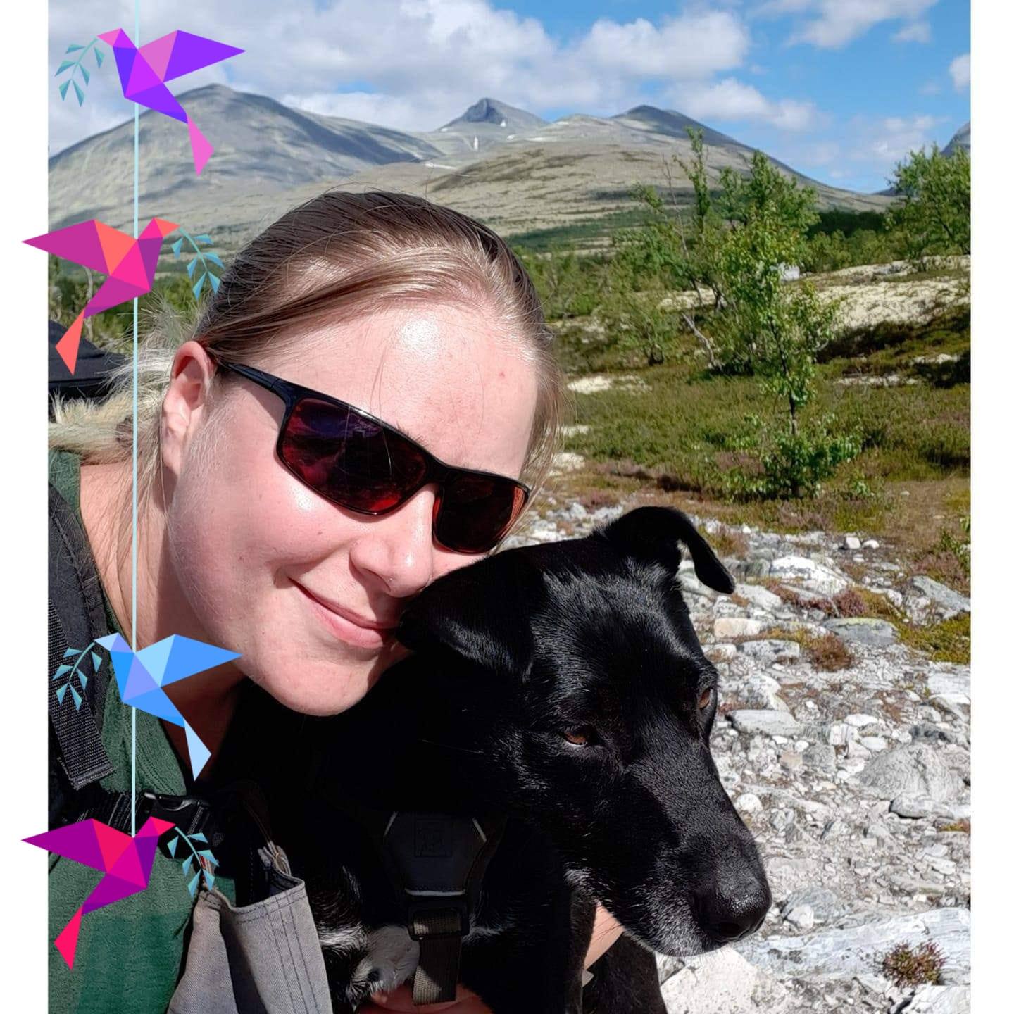
Hello, my name is Radka, and I moved to Norway in 2012 to do an exchange semester at the University of Trondheim. That decision has turned my life upside down. You see, I fell in love with Norway. First with nature, and lately with my Norwegian boyfriend, and it has been ten years since I call Norway my home.

When I created this webpage, I had no plans to write about Norway. I thought it wasn’t exotic enough, and I falsely assumed that the tourists traveling to Norway are only interested in hiking Preikestolen and Trolltunga or visiting the Lofoten islands. At that time, we lived in Trondheim, and I hadn’t even been to Trolltunga since it was quite a long drive from there. So I thought that my mother was the only person interested in my weekend trips to the mountains around Trondheim.

It turned out later that my mom didn’t read this blog. Instead, my articles (primarily written in Czech) found their way to people interested in traveling to Norway. As the community grew (for example, in my FB group Norway – Tips for Travelers), people asked me for my recommendations about hikes and exciting places. So I started offering tailor-made itineraries for trips to Norway and Iceland.

But the idea came to my mind that one day I would like to create a guidebook about traveling to Norway, where I would summarize my tips on well-known and lesser-known tourist attractions. So when we had to end our trip to South America prematurely in 2020 because of the pandemic and return to Norway, where we had neither housing nor work, I decided that it was time to implement the idea.

We spent spring, summer, and autumn 2020 traveling in southern and western Norway, and even though we have been touring Norway many times, we still came across new and exciting places that formed the basis of the map of western Norway. I made the map primarily for my boyfriend and me to map the possibilities of trips around my boyfriend’s cottage, where we settled after returning to Norway from the quarantine in Argentina. But the family and friends to whom we showed the map were very excited to have it too, so we decided that it would be a shame to keep it to ourselves.

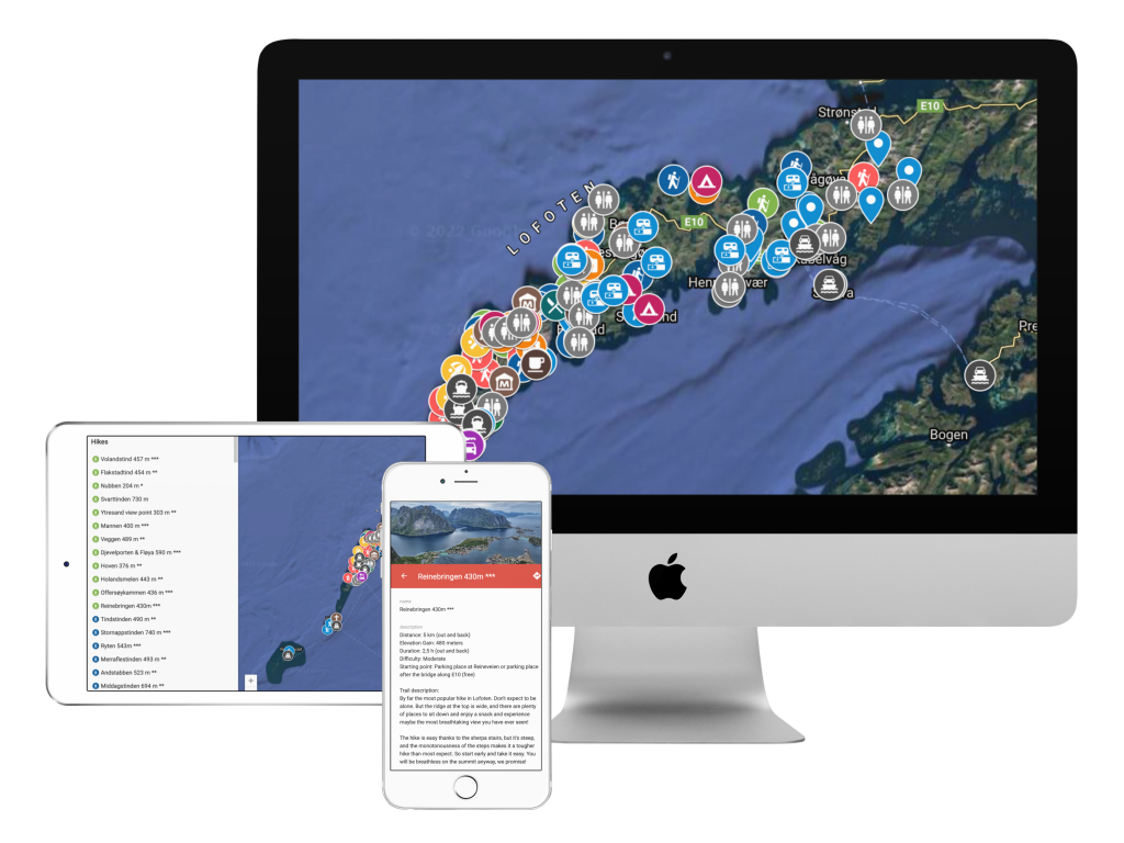
In the summer of 2021, Ivar and I were allowed to run accommodation in the west of Lofoten, which seemed like a dream come true. Every morning, when we woke up overlooking the harbor and the impressive Volandstinden mountain, we were falling more and more in love with the Lofoten countryside. Unfortunately, we didn’t have much free time, but we still tried to use every free minute to explore the surroundings, and our six-month stay in Lofoten laid the foundation for this map.

Our sincere wish is that this map will be a big part of your travel planning for your next Lofoten trip and that you will have use for it every day while exploring the Lofoten islands by car, foot, or bike! We wish you the best of luck and fun and safe adventures on your journey, and maybe we will see you up there! 

Realcamplife travel blog - Radka and Ivar signature
The view of Volandstinden in Lofoten from Lydersen rorbuer that we were running in 2021
The view from Lydersen rorbuer that we were running in 2021
This is us - Ivar & Radka
Lofoty Norsko průvodce před cestou
The view from Lydersen rorbuer that we were running in 2021